The Art and Science of Map Dowsing
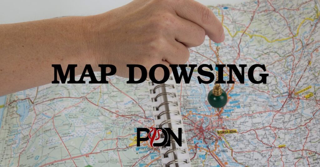
Map dowsing is a technique used by some dowsers to detect underground water sources remotely on maps or satellite images of a property. It is used to make preliminary investigations which are followed up by field dowsing to select the most suitable drill site.
The Art and Science of Map Dowsing Read More »